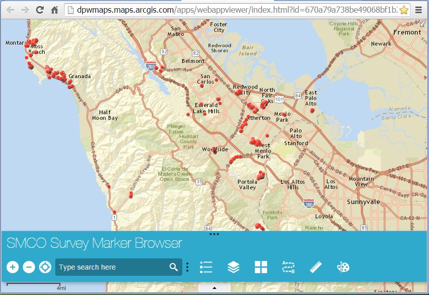
The GIS can be found here or through our Surveying and Map Checking website.
Listed below from left to right

Zoom buttons and 'My Location'
- + zooms in / - zooms out
- locator button shows your location (optimized for mobile users)
Text search
- type address or intersection; auto complete capable
Legend

Turn layers on/off

Change basemap views
- choose from 12 different basemaps

Driving directions
- type or click on the locations for a route

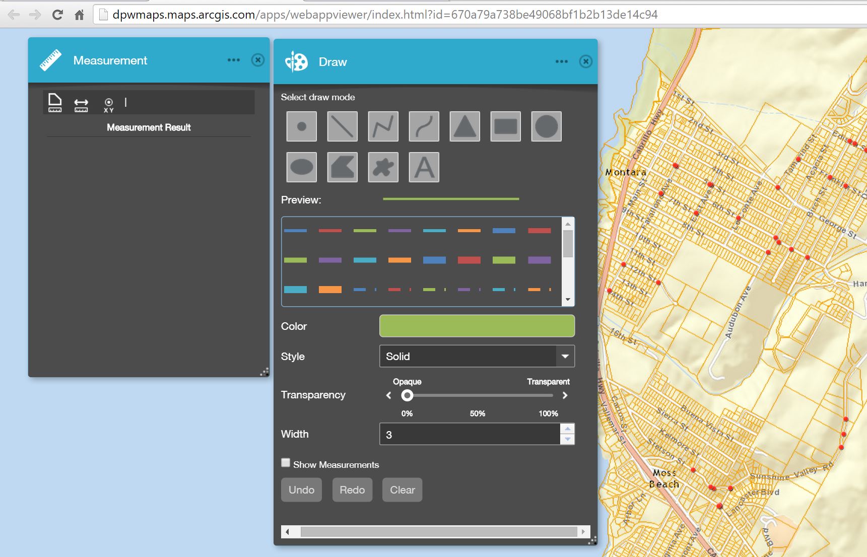
Measuring tools
- measure lines and routes for linear feet
- measure areas
- obtain the lat / long for a location
Simple drawing tools
- enhance any map view by adding objects and text
Additional Tools
Overview map
- toggle on/off by clicking on the arrow in the top right of the map window

- launch a data table by clicking the small black arrow below toolbar

- drag the table up for an expanded view
- explore the 'Options' menu to hide columns, filter and export data